
Why this project and what it is all about.
I have always had a fascination with the coast but particularly love the transitional zones between fresh water and the sea. Tidal estuaries, Sea Lochs and Firths are all wonderfully fascinating environments and ones that I never tire of exploring.
As a photographer with a love of the coast I am always on the look out for new and exciting projects to add a bit of travel and adventure to my life. The idea to capture a complete picture of our coastal waterways came to me one evening whilst helping my son with his homework. We were looking for a book on estuaries but couldn't find one which for someone who loves these environments seemed a huge omission. And so a seed was sown - I couldn't find what I wanted so I would set out to create it for myself and along the way hopefully discover new and exciting places along our coastline.
As with all projects there have to be rules. For this one they are fairly straight forward. To qualify each stretch of water has to meet the sea and I intend to travel no further inland than 10 miles. The aim is to capture and record these transitional worlds where two ecosystems merge, the frontier between river and the ocean; Britain's Gateways to the Sea.
I have always had a love of Geography and Geology; land forms, topography and rocks, which for this project is probably a good thing. Estuaries are not the same countrywide; they vary depending upon how they were formed and there are several different types found around the British Coastline:
Fjords
Not everyone would think of these as estuaries. They occur when a valley has been deeply eroded by glaciation and are more familiar to us in Britain as sea lochs found mainly on the West Coast of Scotland.

Fjards
These are typical of glaciated lowland coasts. They are more complex structures than fjords with a more irregular coastline and in Britain a good example is the Solway Firth.
Coastal Plain estuaries
The most common type of estuary found around our coast they were formed by the flooding of existing valleys and are often very shallow and characterised by large areas of mudflats and saltmarsh. Examples are the Humber and Thames.

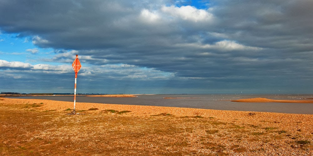
Bar built estuaries
These are also drowned river valleys but are further characterised by sedimentation and the formation of a bar of shingle across the estuary mouth. Examples are the Alde / Ore in Suffolk and the Ythan in Scotland.
Complex estuaries
Theses are drowned river valleys formed from a combination of glaciation, river erosion and sea level rise. Good examples are the Scottish Firths.
It is important to say that this is essentially a photography project and a personal journey of discovery but I have outlined the geography here to give some background to my writing.
A quick tally has revealed the following statistics. There are:
78 English Estuaries
7 Welsh Estuaries
12 Scottish Firths
211 Sea Lochs (Fjords, Fjards and Voes)
My journey, like much in my life, will be completely random. It will begin in Suffolk where I live but from then on subsequent destinations will be where ever the fancy takes me. I hope you will join me to discover some of the most magical places on the British coastline; the gateways to the sea.
No comments:
Post a Comment